

Weather data · Natural hazard intelligence
From the next six hours to the next nine months.
Stellerus turns satellite, radar and ground data into forecasts and hazard intelligence for the sites, networks and portfolios you are responsible for. Packaged by industry. Delivered as data feeds, dashboards and alerts.
Two product lines
Buy the forecast. Or buy the answer.
Weather data products give your teams the variables they model with. Natural hazard intelligence goes further: it tells you which slope, basement or corridor is at risk, and what to do about it.

Weather data products
Fifteen variables and hazards, seven horizons, one bundle per industry.
Choose an industry bundle, choose how far ahead you decide, then add the data products you need. Every bundle maps to GICS codes so exposures line up with portfolios and client books.
- Operational 0 h–2 d
- Planning 3–30 d
- Strategic 3–9 mo
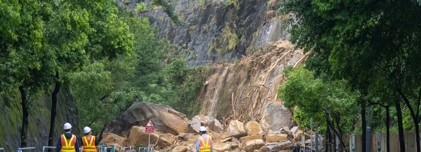
Natural hazard intelligence
Monitor, forecast, assess and respond, site by site.
Landslide, flood, typhoon and cascading-hazard services built on a city-scale digital twin and decades of peer-reviewed hazard research.
- Slopes
- Urban flood
- Typhoon & surge
- Dams
- +5 more
How it works
Space, air and ground data feed one platform.
Physics-guided AI models run on proprietary and public observations. You see the result as a forecast, a risk score or an alert, never as raw model output.
Observe
Geostationary weather satellites, SAR and optical imagery, radar, UAV LiDAR, GNSS and in-place sensors.
Model
AI weather models and downscaling, AI rainfall nowcasting, physics-based landslide, flood and dam-breach simulators.
Translate
Intensity metrics, risk scores and thresholds matched to the decisions your teams make at each horizon.
Deliver
API and data feeds, web dashboards and 3D digital-twin views, threshold alerts and reports for boards, insurers and lenders.
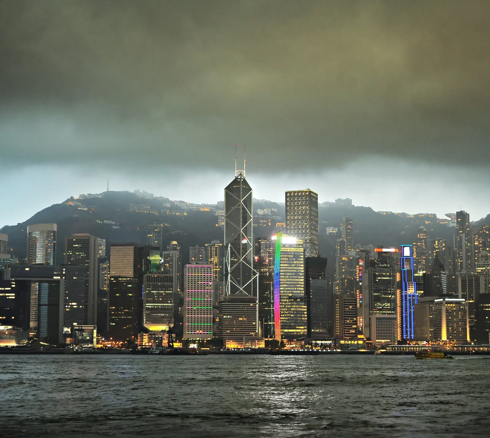
Built for Asia
Made where typhoons, cloudbursts and landslides are routine.
Stellerus was incubated by HKUST and is based at Hong Kong Science Park. Our methods come from published, peer-reviewed research on rainstorms, landslides, dam breaches and urban flooding, applied to the assets of commercial clients across Hong Kong, the Greater Bay Area and Southeast Asia.
How we engage
Scope it. Prove it. Then scale it.
Every engagement starts with your locations and your decisions, not with our catalogue.
- STEP 01
Scoping call
Confirm your industry, sites or portfolio, and the decisions the data must support.
- STEP 02
Paid pilot
Run the recommended bundle or hazard service on a defined set of your assets, with success measures agreed upfront.
- STEP 03
Subscription
Scale to full coverage with the horizon tiers, add-ons and services that proved useful in the pilot.

Start small
Test it on your own sites first.
Tell us where your assets are and which decisions the data must support. We will scope a pilot on a defined set of sites before you commit to a subscription.